BattleMap turns a map link or a set of coordinates into a terrain map with 30 m elevation, hillshade, contours, viewsheds and avenues of approach. It runs in the browser with no install. For shared awareness it can publish plans, tracks and hazards to the Team Awareness Kit (TAK) and other battlefield management systems, so a squad leader, a drone operator and every soldier on the net work from the same picture. The goal is the same class of capability as soldier-worn awareness systems: see the terrain, see your people, see what they see.
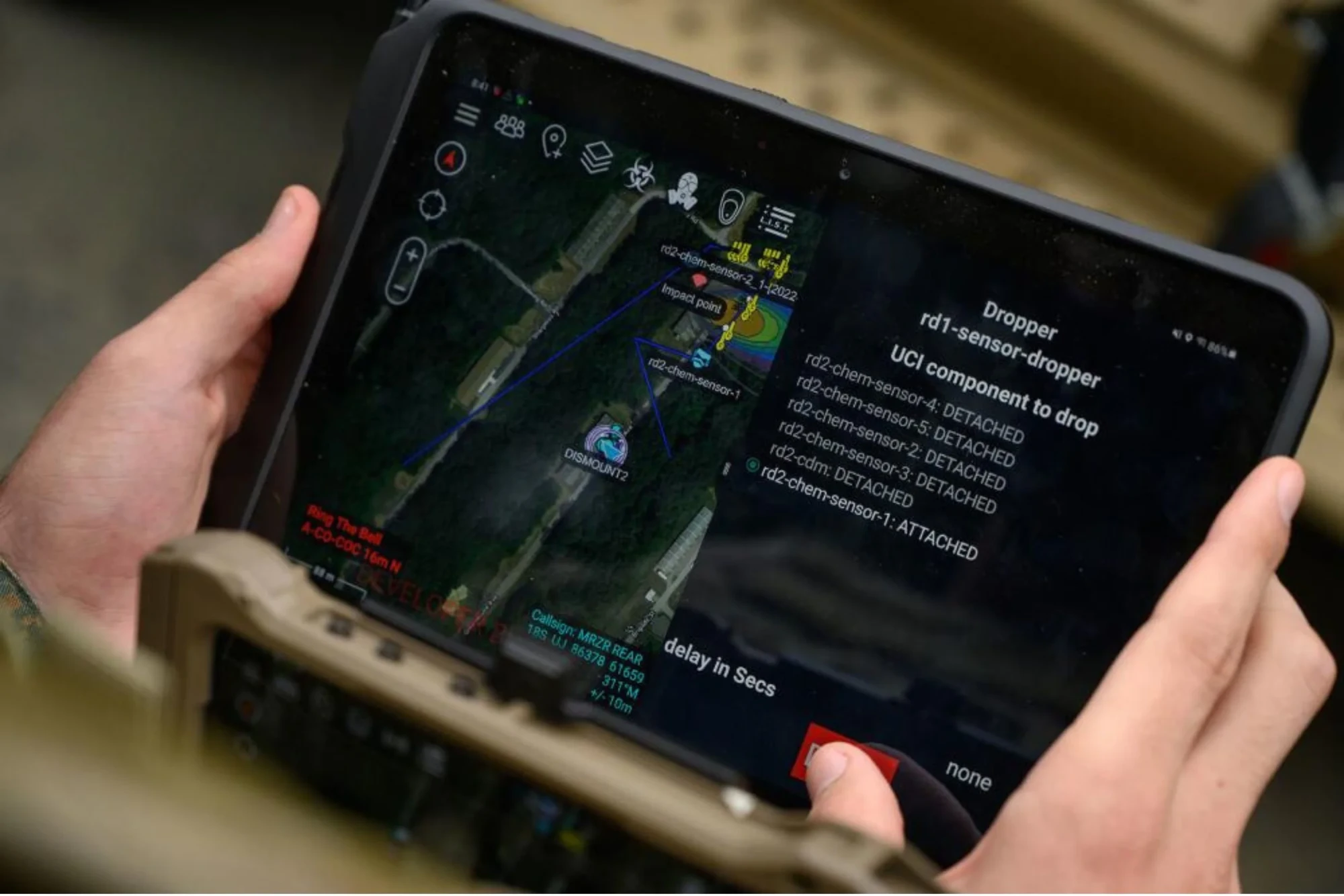
Shared map on a TAK tablet
SPECIFICATIONS · DESIGN TARGETS
- System type
- Terrain planning and shared battlefield awareness
- Input
- Map link or coordinates
- Elevation
- 30 m
- Layers
- Hillshade, contours, viewshed, avenues of approach
- Integration
- TAK (ATAK / WinTAK / TAK Server) via CoT messages and data packages; KML / KMZ and GeoJSON export
- Other systems
- Adapters planned for other battlefield management systems
- Connected soldiers
- Shared positions, routes, hazards and sensor tracks across the squad net
- Edge devices
- Rugged tablet and phone, vehicle display, helmet display (planned)
- Network
- Works over mesh radio and low-bandwidth links; offline map cache
- Runs
- In the browser, no install
- Status
- Working build; TAK integration in development
Engineering design targets, not measured performance. Draft values for Stanchion to confirm.
BUILT FROM BLUE LIST PARTS
Pre-decisional internal research, non-kinetic, posted at a level appropriate for public release. Nothing here is an offer to sell a defense article or defense service.